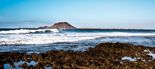
For those who enjoy nature walks, the island of Lobos, which we visit every day in our boat trips, is a beautiful enclave, which contains singularities that will astonish the hiker, being a Natural Park, which was declared as such in October 1982, when El Parque Natural de las Dunas de Corralejo e Isla de Lobos was created, and reclassified as Natural Park in December 1994.
The following table lists the MIDE characteristics (communication system between hikers, with a scale that includes the technical and physical difficulties of the trails, to allow each hiker a better choice), where we can see that the difficulty of the trail is minimal.
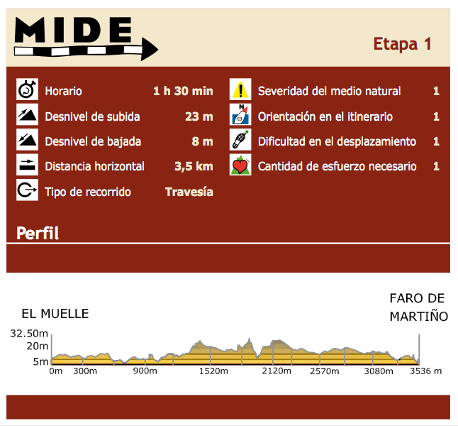
The trail that crosses the island represents the first stage of Fuerteventura GR-131 (long distance footpath linking the Canary Islands with the European path A7, about 5000kms, that departs from Hungary), so this step is particular, being in a separate islet to be accessed by boat.
The adventure of this stage begins on the boat that takes you to Lobos Harbour, through what is known as El Río, a sea canal that separates the islet of Lobos from Fuerteventura just over one mile and where if we look closely we can admire some of the marine species that ply these waters, such as turtles, flying fish and even dolphins and other cetaceans.
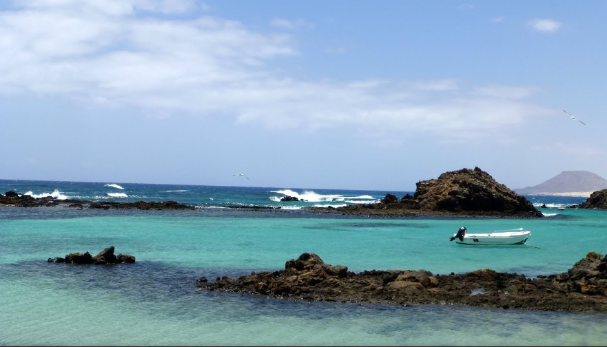
Lobos Harbour will welcome us with its calm turquoise waters, and once the sailing is over the hiking adventure begins.
Upon arrival at Lobos Harbour we find two trails. We will take the one on the left, since the right trail leads to the houses of Puertito, which are not included in the tour, but we recommend visiting them at the end of this stage of the trail, because of its landscape beauty and calm.
In the chosen path we’ll go through the volcanic “malpaís”, characteristic of the islet and the whole of Fuerteventura, up to Playa de la Calera (or Playa de La Cocha), with its fine sand and almost static water, which invite visitors to relax with water and sun baths.
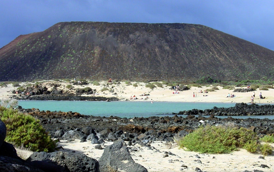
After a pause which can be used to take a dip, we continue the path, leaving the amazing Mountain Caldera on the left, with its 127-meter volcanic cone, swept away by the sea, which has turned the crater into a semicircular amphitheater at whose base the water breaks.

We continue our journey, surrounded by the striking green of the Sweet Tabaibas (Euphorbia balsamifera), which are the exceptional inhabitants of this island, up to Caleta de La Madera, which we will sail round to finally get to Martino’s Lighthouse, located in the northern side of the islet of Lobos, which represents the final stage.
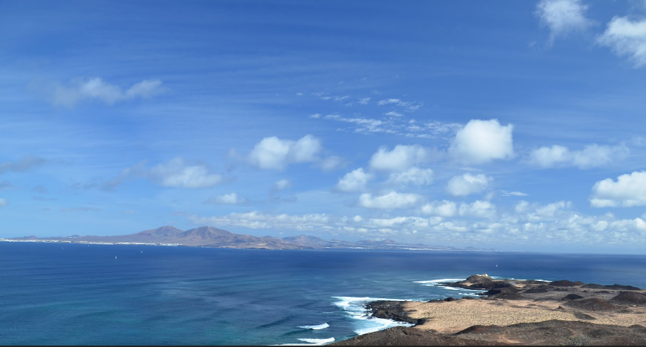
At this point there is a crossroads; those who wish it can return the same path , but we suggest an alternative way (outside the GR trail), which also leads to El Puertito, crossing Las Lagunitas, which are wetlands (salt marsh near the coast that is affected by the flow of the tide; the sea water is held and it makes ponds or lagoons parallel to the coast that allow the settlement of endemic plant species and also the least representative in our Islands; all these species have in common the adaptation to high salinity conditions), where you can find plenty of species, among which the houseleek (Limonium ovalifolium ssp. Canariense) stands out, endemic to the islet of Lobos.
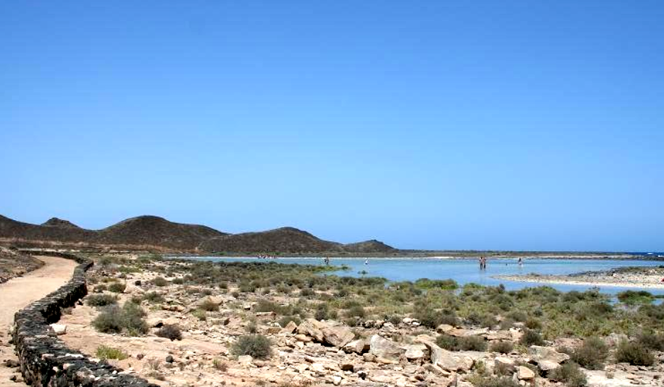
Through this path back we also find cisterns and lime kilns, which tell about the history of this magical islet.
Finally we’ll get to the houses which make up the village of Puertito, old fishing settlement which fishermen often visit nowadays to spend the weekends, except some of them who still live on the islet permanently.
If you follow the links in this article you will find all the information about this paradise islet.
FuerteCharter Team.
